 |
|
 |
-
Home - Park
Information - Programs,
Activities & Hikes - We've
Got Gators - Plants &
Animals - Get
Involved -
Members -

Updated: Sep 03, 2011 |
| Site Map |
|
|
|
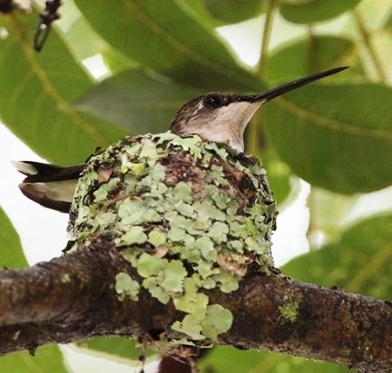
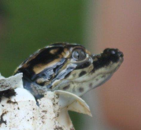
The purpose of the Volunteer organization is to assist and educate the visitors of Brazos
Bend State Park through information and interpretive programs and to assist in the care and
conservation of the Park.
Brazos Bend State Park 21901 FM 762 Needville, Texas 77461 979-553-5101 | ||